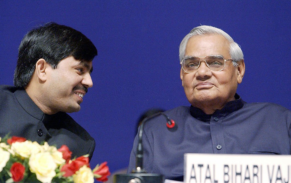
District Profile
Area : 2569 Sq.K.M Height from sea level : 43 meter (141 ft.) Normal Rainfall : 1166.2 m.m (141 ft.)
Lowest Temperature : 8 oC Mother's Name : Late Nasima Khatoon Highest Temperature : 44.5 oC
Population as per 2001 census : 24,30,331 Rural Population : 19,92,872 (82%) Urban Population : 4,37,459 (18%)
Density of Population (per sq. KM) : 946 Literacy Rate : 45.08% No. Of S.C : : 1,88,234
No. Of S.T : 44,884 No. Of Sub-division : 3 No. Of Police Station : : 8
Polling Station : 1481 Electorate : 15,66,140 NNo. Of Panchayat : : 242
No. OF Village) : 1536 No. Of Habitants : 15,66,518 No. Of House hold : : 2,57,260
No. Of BPL House hold (Rural) : 2,18,679 No. Of Nagar Nigam : 1 No. Of Nagar Panchayat : : 3
No. Of School (Primary+Middle+High : 1304 No. Of University : 1 No. Of Engineering College : 1
No. Of Agriculture College : 1 No. Of Medical College : 1 No. Of Polytechnic College : : 1
  NTPC Kahalgaon : 18.40 MW Capacity  

No. of Blocks 16 Blocks
The district comprises of three administrative sub-divisions.
    1. Bhagalpur Sadar Sub-Division
    2. Kahalgaon Sub-Division
    3. Navgachia Sub-Division
The districts consists of 16 Blocks and 16 Anchals. It has 242 panchayats and 1536 villages. There are altogether 250 post office and 125 Banks etc.
The name of blocks, sub-division wise as follows:
Bhagalpur Sadar Sub-Division
Kahalgaon Sub-Division
Navgachia Sub-Division
     
Jagdishpur
Sanhoula
Navgachia
Nathnagar
Kahalgaon
Kharik
Sultanganj
Pirpaiti
Narayanpur
Shahkund
 
Gopalpur
Goradih
 
Bihpur
Sabour
 
Ismailpur
   
Rangra Chowk
 
No. of villages 1536 villages
No. of PS’s
No. Of Police Station : 8 Polling Station : 1481
NREGA Statistics District : BHAGALPUR
Emp. provided to households : 0.56874 Lakh Persondays [in Lakh] : Total : 12.58
SC's : 3.26 [25.93%] ST's : 0.49 [3.88%] Women : 1.39 [11.05%]
Others : 8.83 [70.19%] Total fund Rs. : 21.52 Crore . Expenditure : 13.04 Crore.
Total works : 790 Works completed : 256 Works in progress : : 534
<      1             3